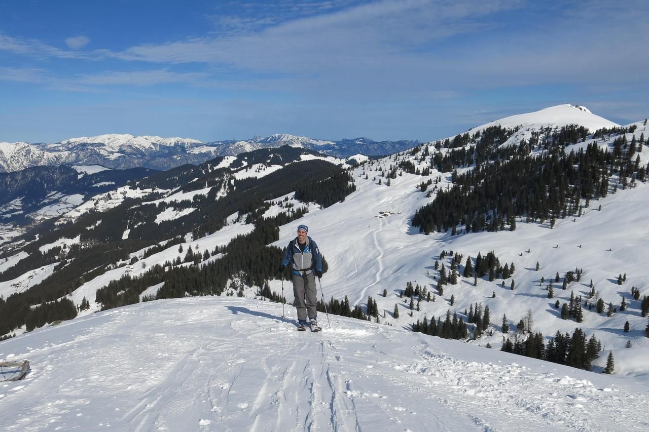
Breiteggern
Thank you, Martin, for contributing this tour.
Route Character
Relaxing Splitboard pleasure tour, which is with proper track selection especially suitable for fresh snow.
Starting Point & Village
Starting point: Wooden bridge to the left, approx. 1,8km before the Schönangeralm Inn Village: Wildschönau
Ascent & Route
From the bridge, depending on snow or road conditions, already on skis or first on foot, follow the road uphill to the farm-house after the 2nd bend. From here directly eastwards the meadows up to the next farm which you pass on the left and aim for the right upper forest edge. Now you meander up through the meanwhile steeper forest belt, the steepest spot is bypassed in a small curve to the right. Even before it gets exhausting, you are already through and have reached the meadows of the Koberalm. We keep to the right and quickly reach the alp building at about 1440m.
Continue in direction east southeast over the beautiful, gentle terrain, pass the next alpine hut on the left and continue until the flat basin between Schwaigberghorn and Breiteggern opens at about 1760m. Here we turn right sharply and climb over a small steep step onto the wide ridge, which leads easy up to the summit in an southward direction.
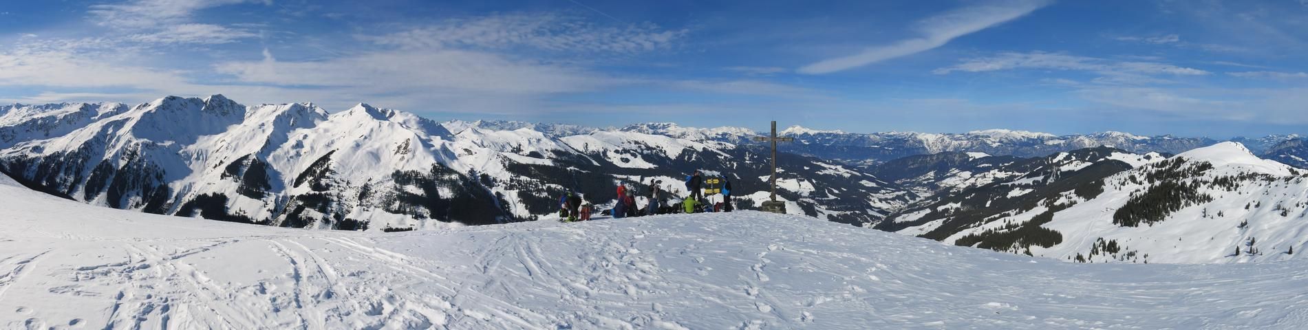
From the large summit plateau one has a good overview of the surrounding, also more demanding tour destinations of the Wildschönau.
Descent & Variants
Along the ascent route or to the west over the beautiful, ideally angled slopes to the Breiteggalm (1530m) and from there keeping left through the lighter forest aisle directly down to the Gasthof Schönangeralm (alternatively right on the summer trail through the forest).
Maps
Alpenvereinskarte 34/1 Kitzbüheler Alpen West 1 : 50 000
Photo Gallery
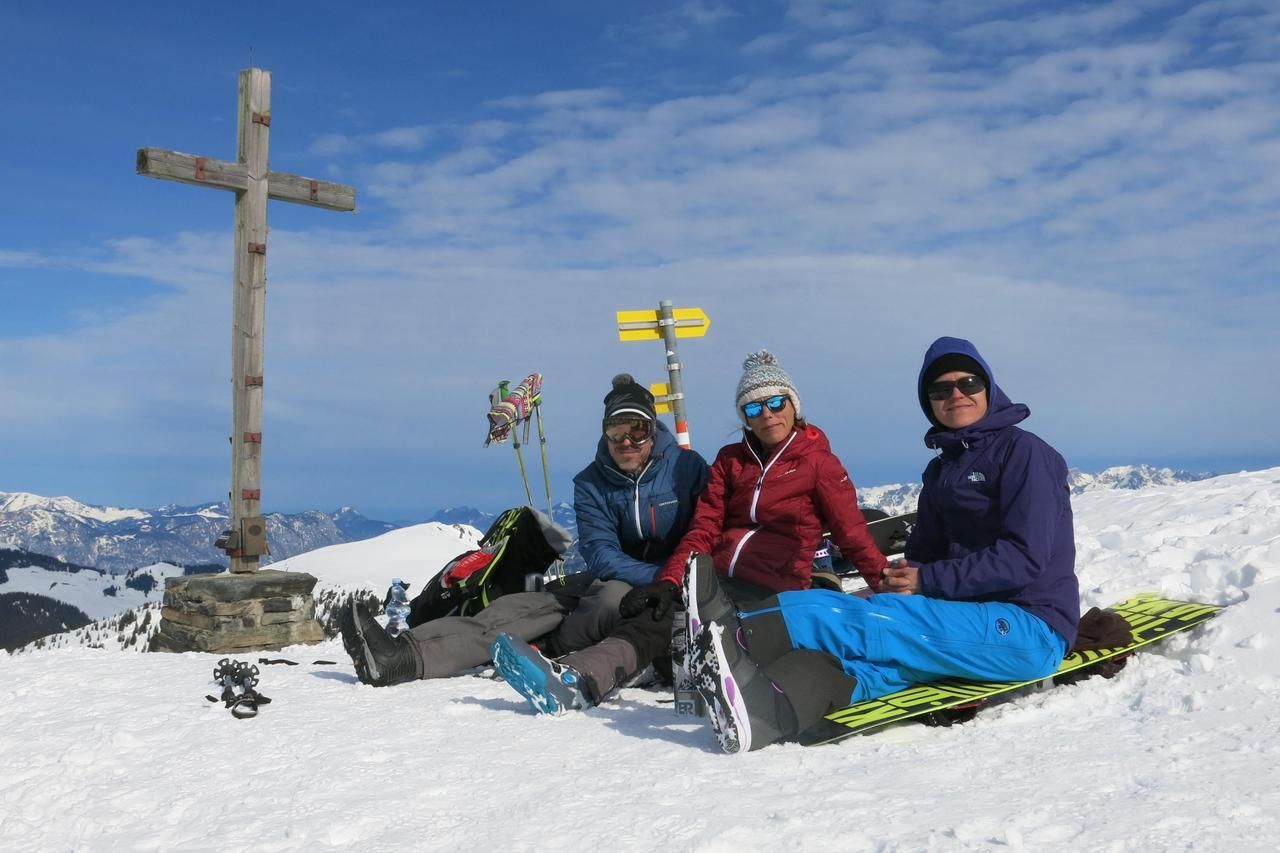
A selection of 3 photos from the tour:
Map and Avalanche Risk
[ASTRO_MAP_INFO_EN]
Image Gallery (3 Photos)
Slope Map
Tour Planning & Important Notes (OpenSlopeMap)
Tour Planning
The map shows our GPX track on the OpenSlopeMap slope-angle map. You can plan your own tour directly on OpenSlopeMap.org and download it as a GPX track (Open the map on OpenSlopeMap.org).
Disclaimer
Every user of the map agrees to use the maps provided on OpenSlopeMap.org at their own responsibility and risk. OpenSlopeMap.org and its operators accept no responsibility for damages.
Map Explanation
- Slope inclinations are a very important criterion in avalanche risk management. However, slope inclination alone should never be the sole criterion!
- The resolution for Austria and South Tyrol is based on a digital terrain model (DTM) with 10m resolution. Outside these areas, accuracy is significantly lower.
- A map can only ever provide a limited view of real conditions.
Frequently Asked Questions
How difficult is this splitboard route?
The route is classified with difficulty level 3.
How many vertical meters does the tour include?
The ascent covers approximately 891 vertical meters.
How long does the ascent take?
The tour takes around 2.5 hours.
Where does the route start?
The starting point of the tour is Wildschönau.